- Published on
Facilitating a Youth-Led Community Flood Mapping Workshop for a YSEALI Project
- Authors
- Name
- Feye Andal
- @dfeyeandal


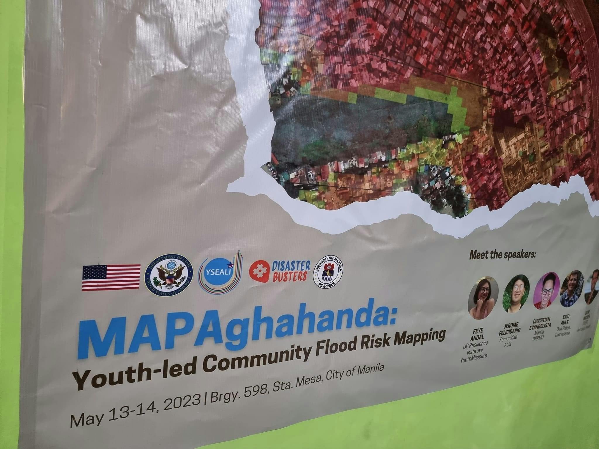
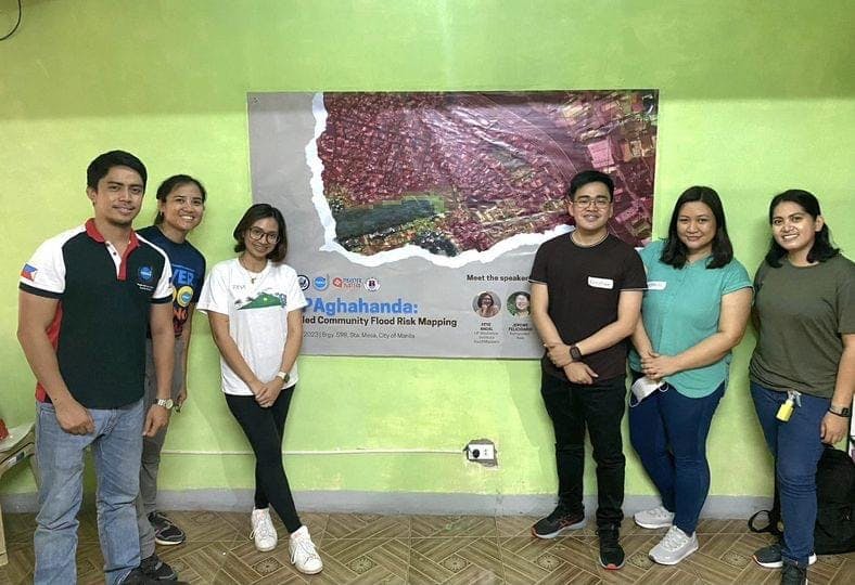
Last 13-14 May 2023 marked a significant milestone in my career as I had the privilege to facilitate a youth-led community flood mapping workshop in Barangay 598, Santa Mesa, Manila. This workshop was part of the pilot implementation of MAPAghahanda, a project supported by the YSEALI Professional Fellows Program Reciprocal Exchange. Its overarching goal is to mitigate the future impacts of flooding and strengthen the resilience of flood-prone barangays in the Philippines through innovative risk mapping techniques and meaningful youth engagement. Specifically, the project aimed to develop a comprehensive toolkit for youth councils (Sanggunian Kabataan) to create community flood risk maps.

Throughout the workshop, our focus remained firmly on hands-on flood risk mapping. The youth participants gathered critical infrastructure data using FieldPapers, an open-source tool that allowed them to collect and record valuable information on the ground. Furthermore, they validated NOAH hazard maps through engaging community interviews. This holistic approach not only helped in identifying vulnerable community members such as pregnant women, animals (including dogs, cats, and chickens), infants, and persons with disabilities but also fostered a sense of empathy and understanding of the community experiences during disasters.

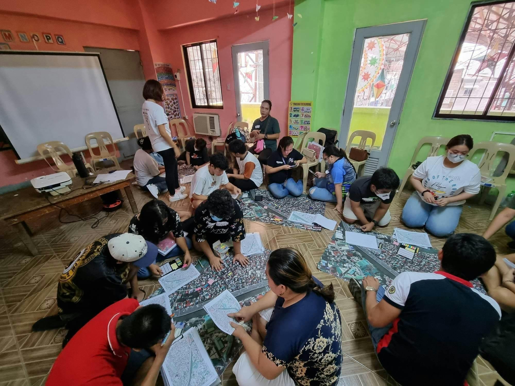
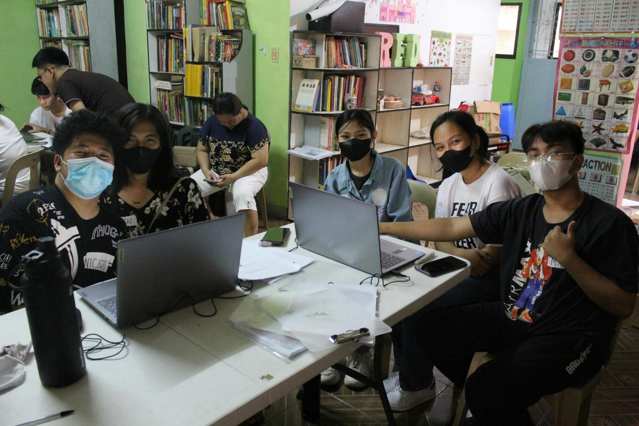
As the day progressed, we delved into Geographic Information Systems (GIS) through a short QGIS introduction. Despite their limited experience in the subject matter, the youth participants displayed remarkable enthusiasm and adaptability. They quickly grasped the fundamentals of creating vector data and were even able to perform a simple vector analysis related to hazard exposure mapping. Witnessing their eagerness to learn and their technological savviness left me inspired and hopeful for the future of our communities.

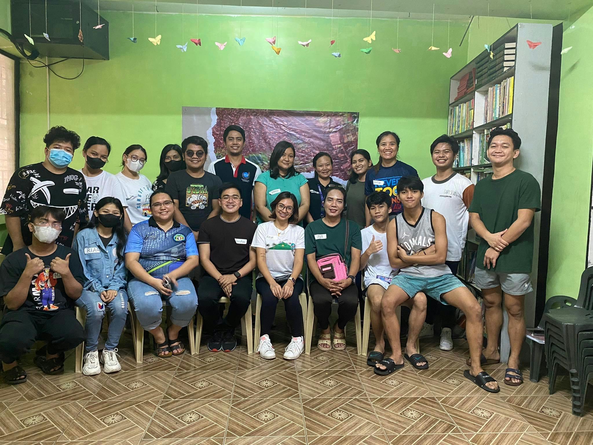
The event held personal significance for me as well, as it was my first community mapping experience after the long hiatus imposed by the pandemic. It was a refreshing return to the community and a reminder of why I am passionate about this work. The project's mission resonated deeply with me, as it echoed the days of my thesis research. Working closely with the youth participants was an absolute joy. During breaks, they even danced and sang along, fostering a sense of camaraderie and lightheartedness.
Overall, the youth-led community flood mapping workshop was a resounding success. It not only equipped the participants with invaluable skills and knowledge but also empowered them to contribute to their communities' resilience-building efforts actively.
I am grateful to the #DisasterBusters community for extending an invitation for me to become the Subject Matter Expert of their project, and for this amazing opportunity!

Special credits to DisasterBusters for the amazing photos!