- Published on
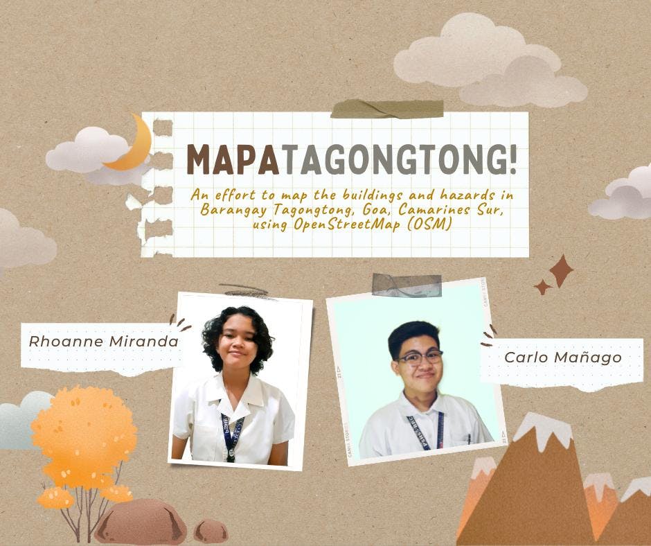
How PSHS-Bicol Students Pursue Community Mapping for their Science Immersion Program
- Authors
- Name
- Feye Andal
- @dfeyeandal


Senior high school students from the Philippine Science High School - Bicol Region Campus, Carlo Mañago and Rhoanne Miranda, pursue community mapping using OpenStreetMap (OSM) as part of their Science Immersion program. Carlo and Rhoanne are student-mappers from Camarines Norte and Catanduanes that have a passion for serving the people through community-based mapping! Get ready to know more about their background, interests, and project through this Q&A.

Can you tell us about yourself and how you discovered/learned about OpenStreetMap?
Carlo: I am Carlo Mañago, a Grade 12 student of Philippine Science High School - Bicol Region Campus (Pisay Bicol), and I come from the province of Camarines Norte. I have always been interested in geography and mapping, but I never really looked at it as a serious hobby or interest. That was until last year when the community quarantine started. I looked for ways to get into mapping, so I joined community groups on Facebook. I stumbled upon the Geographic Information System Philippines Facebook group, even though I did not really have any knowledge of GIS. There I came across OpenStreetMap and the initiatives that were being spearheaded by mappers like Kuya Mikko Tamura. It really picked on my interest, so in September 2020, I started learning and eventually contributing to OSM and Humanitarian OSM activities. I have been busy with academics and other endeavors in the past months, but I always try to drop by OSM and contribute when I have free time.
Rhoanne: I’m Rhoanne Miranda, a Grade 12 student of Philippine Science High School - Bicol Region Campus, from Catanduanes. My interests are quite diverse, from playing with codes, to designing graphics, to exploring cuisines, to growing things, to adventures in nature. Because I really enjoy when I integrate these various disciplines into my hobbies, school activities, and the likes, I got hooked to mapping immediately. For me, it is the perfect marriage of adventure, tech, culture, and nature. Even if it was virtually, I got to explore a lot of places, culture, and environment while also contributing to my community.
Carlo started convincing me to try OSM last July 2021 and I am so thankful that he was persistent about it. It took a month before I agreed because I was intimidated by the idea of mapping, it was unfamiliar, it was big, it was something out of my comfort zone, however, seeing the first building I created on a global map made all these thoughts vanish. Soon, I found myself enjoying mapathons, exploring HOTM projects, and messaging ate Feye (I met her at my first mapathon, she was the instructor for beginner mappers and she was awesome at it) for an internship application.
You started your Science Immersion program late last year about community mapping for Brgy. Tagontong in Goa, Camarines Sur. Tell us more about your project.
Rhoanne: Mapatagong aims to map Barangay Tagongtong, Goa, Camarines Sur, the location of our school, Pisay Bicol, is situated. Barangay Tagongtong is a remote barangay at the foot of Mount Isarog that often experiences landslides, road blockage, and occasional floods during typhoons. Our goal is to give back to the community which hosts Pisay Bicol through creating a hazard map of the area that can be used for disaster preparedness, road projects, and humanitarian aid and presenting this map to our beneficiaries.
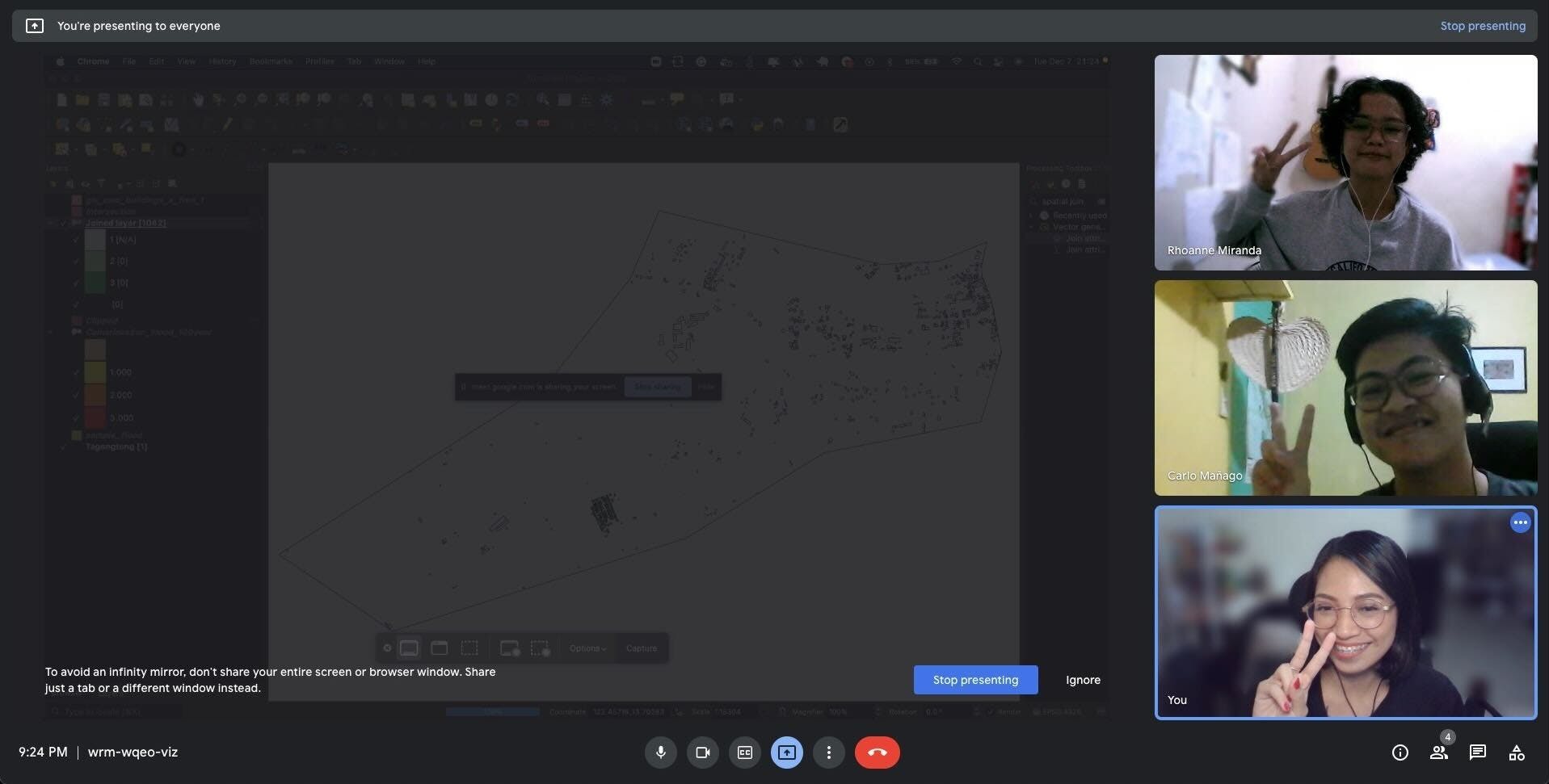
Our project takes place virtually and physically. Due to the restrictions caused by the pandemic, Carlo and I perform everything from mapping to communication virtually while our Internship Training Supervisor, a teacher from Pisay BRC, performs everything on-site, from paperwork to remote mapping. Mapping takes place in OSM and HOT Tasking Manager, hazard overlay analysis takes place in QGIS using data from Project NOAH, and our meetings take place in Google Meet. The project isn’t just limited to mapping, it includes workshops where we learn the skills we need, and also communication with community members where we introduce our findings to the local community.

How did you develop the topic, and why did you decide to pursue this project?
Carlo: This project is actually part of our Science Immersion Program (SIP). Students of Pisay are required to undergo some sort of immersion or internship for us to receive our graduation clearances. The SIP aims to give Pisay students hands-on experience in different science fields, allowing us to expand our firsthand knowledge outside the classroom. Because of the pandemic, we needed to resort to remote immersion programs. We were given the chance to select whatever project we want to pursue, that is, still guided by the goal of giving us firsthand scientific experience.
Coincidentally, MapaTagongtong is also part of our Service, Creativity, Action, and Leadership Enhancement (SCALE) Program: another program in Pisay that is aimed towards helping us students develop ourselves in other fields like those anchored on our interests, skills, talents, etc. The main goal of SCALE is for us to learn something new and experience non-academic endeavors while still developing ourselves as individuals. I decided to pursue MapaTagongtong in both SIP and SCALE programs because I wanted to explore more on the inner workings of community mapping.
Although it is not a conventional science endeavor, mapping is a helpful tool in interpreting scientific concepts and findings. At the same time, it helps better explain scientific knowledge. Apart from this, the products from our hazard mapping are useful scientific information as well. That is why I chose to take up community mapping as a science immersion program. Furthermore, I also chose this as my SCALE program because mapping has really become a big interest of mine. I wanted to learn more from it and hopefully help myself develop and become a better, more experienced person after this activity. I can say that at this point in our project, I have learned and experienced so much so I guess I’m geared towards my intended goal.
Rhoanne: This project was also my Science Internship Project. During the brainstorming of internship ideas, mapping was the first thing that came to my mind because I really enjoyed doing it for the past months and because I want to dive deeper into mapping and expand my reach. When I first contacted ate Feye, the project was still in tatters, the only thing I had at that time was the idea that I wanted to map something, anything. Her guidance and Carlo’s experience helped in shaping the project’s goals, methods, and the rest. Brainstorming the topic wasn’t a linear process for I was still a beginner mapper at that time and I had no idea about other things outside OSM, it was gradual addition and subtraction of ideas that shaped the project.
I chose to pursue this project because mapping was one of my budding interests during its conception. I was really passionate about putting my community on the map since Catanduanes is often invisible to the rest of the country but I did not know how and where to start, thus I used the internship opportunity to start my goal. Moreover, I want to enrich my skills in GIS tech and exposure to various environments.
What is/are the most critical aspect/s of your project? What are the challenges you faced?
Carlo: Like many other projects, perhaps the most difficult part of MapaTagongtong for me was kicking things off. Rhoanne and I did not have much idea on how we would start this, we were just trying to wing everything. We also had to settle requirements by the school to continue this project, arrange timetables and division of tasks, etc. All we knew was how to map in OSM but for other tasks, we had little to no clue. Fortunately, Ate Feye and our internal supervisor, Sir Roffe, were there to guide us in the conduct of this project. Ate Feye in particular taught us basically everything we had to know and was very patient and understanding all throughout.
How do you think your project will contribute to the community of Barangay Tagongtong?
Rhoanne: Aside from putting the barangay on a global map, the project will help the barangay in preparing for disasters, especially typhoons. Personally, I believe that seeing your barangay on map is very uplifting and it gives a sense of importance, so I think that the community of Barangay Tagongtong will hopefully feel this too.
Carlo: One of my driving factors in my interest in mapping is my frustrations from when I was a child. I would always look for maps and statistical maps of my locality online but I'd get few to no good results. So when I learned how to map both in OSM and GIS, I told myself I'd be creating maps for these small communities so other kids like I once was, would not be frustrated that there's no map of their community. Like Rhoanne said, seeing your community on a map is an uplifting feeling; it gives you the sense of importance that you are part of something bigger.
More than all these, the hazard maps we produced will be helpful to the people of Tagongtong. As science scholars, we believe that scientific knowledge should not just be stockpiles of research results and nauseating graphs and statistics. There must be a way for us to interpret these and put them into use. With the help of UPRI NOAH through Ate Feye, we would be able to make the scientific data on hazards useful and understandable for the people of Tagongtong.
Any message for aspiring students who want to learn about OpenStreetMap and mapping in general?
Rhoanne: Don’t be afraid to try it and start your journey. There are a lot of people willing to lend you a hand and teach you the ropes of mapping and there is a fun and exciting community waiting for you. Yes, it may be intimidating but if you are always open to learning, to accepting feedback, and to failing at times, the journey is quite amazing, after all, everyday's a learning opportunity.
Carlo: Whoever these students are, we need to link up ASAP! HAHA! Mapping is (I think) a very niche interest. You will not immediately find a young person who would enthusiastically tell you, "ooh I love seeing an overhead view of the world!" It's not quite common. So for those students who are interested, make yourself part of a team, just like what I, Rhoanne, and Ate Feye did!
Other than this, one very important thing is to make the world your classroom. Maps now are very handy, like OSM you can even access it through your mobile phone. It's as if you can fit the whole world in your Android or Apple device. But in order for you to make useful contributions to OSM or GIS or whatever mapping endeavor you want to partake in, you have to be open to learning: exploring your neighborhood, getting to know the histories and cultures, understanding the sociopolitical dynamics of the society you belong to — all these things can be translated to a map. If anything, a map is a snapshot of the world, literally and figuratively. It tells us how we as a people shaped our lands, drew our boundaries, and built our communities.
So apart from doing your homework: contributing to OSM and exploring the technicalities of mapping, also explore the "world" outside the "world on your phone".
Want to know more about the status of their project and what they do? Follow them on Twitter (@c4rlomng & @w3ynnrar)!